 Date: 11 September 2010
Location: Cape Point
Walkers: Helen, Dorothy & Michele
*** Route plotted here ***
Previous walk from Olifantsbos here.
A perfect Spring day! We drove down to Olifantsbos on the west coast of Cape Point for a picnic lunch (finished off by a cheeky baboon) followed by a walk to Sirkelsvlei. One can do this walk from here, a circular route. But we decided to make this a one way walk, so we left one car here and drove back along Link Road, and starting out on the Red Track.

After a short way we turned right onto a narrow path...


... and headed across the sandy plains known as the Smitswinkel Flats.


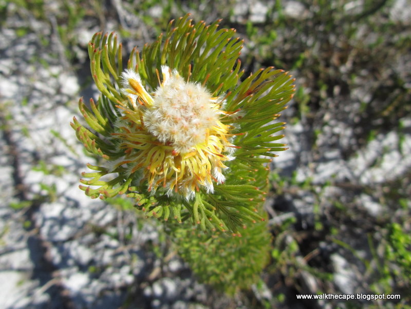
An astonishing variety of flowers were growing in this environment.


I particularly loved the Serrurias. They are so odd!


The path took us over rocky outcrops, route markers showing the way.


The views were gorgeous!


There is low ridge (called Sirkelsberge according to my map) where we climbed up onto the rocks to enjoy the scenery below...


... the body of water known as Sirkelsvlei...

... and the Atlantic ocean beyond.

We followed the path down to the water.

There are lots of reeds and grasses in the wetlands surrounding the vlei. The water itself is the darkest most brackish water I've ever seen. Or tasted... it is bitter and not nice for drinking at all.


At the intersection we took the right turn, signposted to Olifantsbos. This route took us alongside the dam, though a thicket of a shrub with a yellow flower, a type of Aspalathus I think.


Isn't it a lovely spot?

I could definitely imagine taking a swim here in summer!


Once past the dam the path continued on, easy pleasant walking.


This lovely flower caught my eye. I can't identify it (yet) but just look at that shape, colour and texture. Perfection! Update: Orphium frutescens.


Lots of other colourful flowers were spotted alongside the path.


And we saw an antelope in the distance. It ran off as soon as we got close.


It wasn't long til we reached Koggelman Arch. Here we had a snack and explored around the rock formations.


The path continued in a north-westerly direction, to Window Rocks.


What a view up the coast!

The last stretch was a stepped path down the hill.


Olifants Bay lay below.

We left the hill behind us and strolled along the road back to our car.


(Photos by Helen and Michele)
.


3 comments:
If you didn't say this was close to Cape Point I would have though that its somewhere on the West Coast. When you drive to Cape Point the area looks so desolate, but its amazing how big a veriety of plants there are.
You're right that its got the same feel as the West Coast, Firefly. And the same appeal - I love the open space and the big skies. Cape Point is a really special place, and I'm so enjoying doing more exploring there.
Hi Helen, I am planning to visit Cape of Good Hope/Cape Point? Which trail you think will be better for bontebok and the variety of wildlife?
Post a Comment